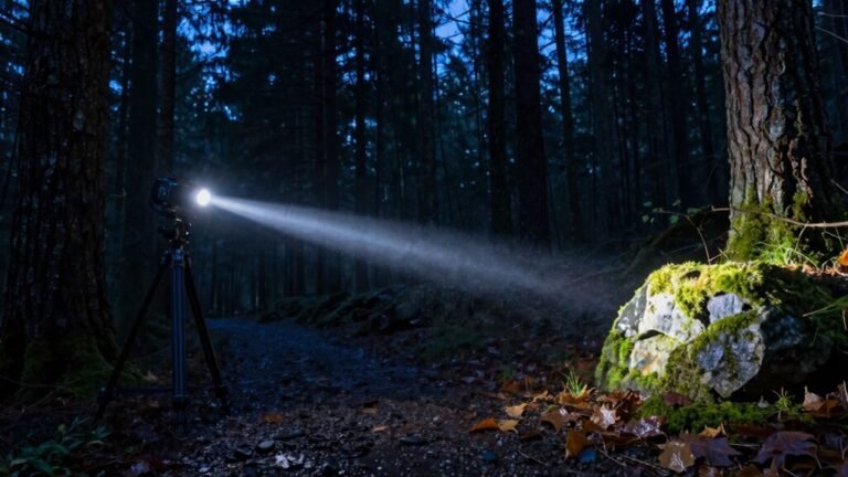
How to Navigate When Your Phone Dies
When your phone dies, navigation becomes a hands-on challenge that calls for old-school tools and instincts. Grab your map and compass—line up the baseplate with the map’s edge, then spin the bezel to align with the grid lines so you can rely on true north.
Let the red needle guide your direction as you identify your next landmark. Spot a distinct peak or a bend in the ridge and follow it like nature’s highway, using terrain features to keep you on track.
Use the sun’s arc during the day or find Polaris at night, just as ancient travelers did to navigate vast distances. Moss on trees, shadow patterns, and even the lean of wind-battered trees can offer subtle directional clues when your phone dies.
Stay sharp, stay safe, and discover how much more rewarding adventures become when you embrace the skill of traditional navigation.
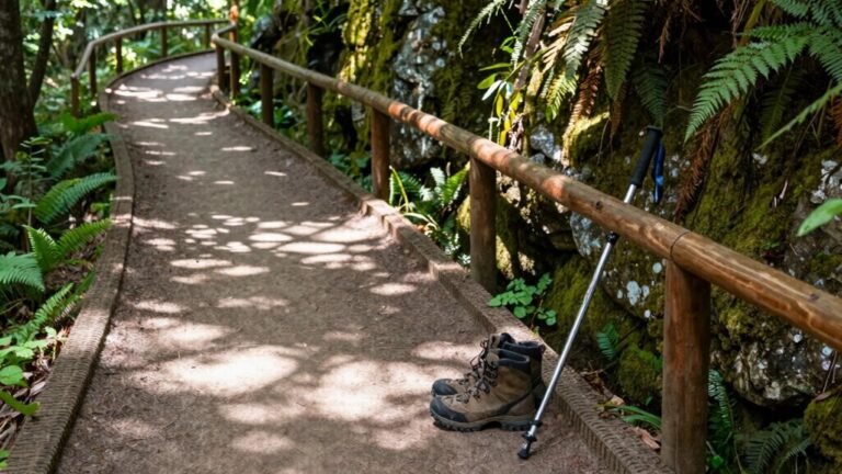
Use a Physical Map and Compass
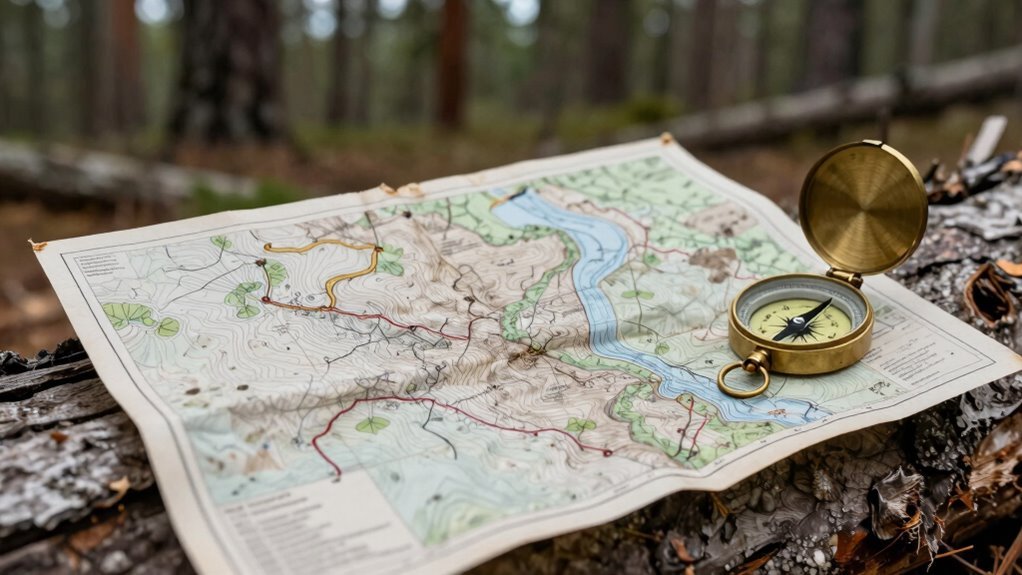
Finding your way with just a map and compass might sound like something out of a spy movie, but hey, you’ve got this—no signal required.
Lay your map flat and pop your compass on it, aligning the baseplate edge with the map’s side. Spin the bezel until the orienting lines match the north-south grid—voilà, you’re oriented!
The red end of the needle? That’s magnetic north, always doing its thing.
Set your direction of travel arrow from where you’re to where you’re headed, then read the bearing at the index line.
Hold the compass level, turn your whole body until the needle nests neatly in the orienting arrow, and boom—you’re locked on course.
Just follow that direction arrow like it’s your GPS with style.
Sure, magnetic north isn’t true north, so nudge for declination, and you’ll be hiking like a pro, not a confused squirrel.
Map and compass: old-school, unbeatable, cool as ever. Many hikers rely on USGS maps for accurate terrain details and reliable scale.
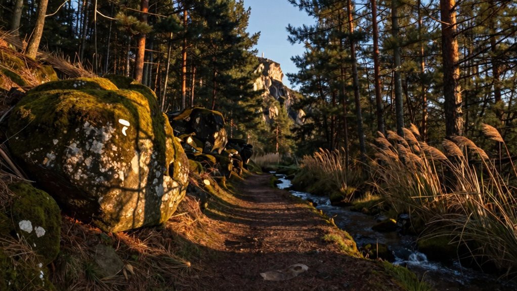
Recognize and Follow Key Landmarks
Ever wonder how you can hike deep into the woods and still know exactly where you are—without tapping a screen? You’ve got landmarks working for you! Spot a sharp peak or a uniquely shaped hill? That’s your new best friend. Use it as a guidepost while you move.
Keep your eyes peeled—link ridge lines, valleys, or even gnarly tree clusters to stay on track. Pick the next landmark before the current one slips out of view, like playing nature’s version of hopscotch.
Mix in close, middle, and far points so you’re never guessing. Oh, and ridges? They’re like nature’s guardrails—follow them! Ridge lines connect mountain peaks and help maintain your direction over long distances.
With a little practice, you’ll trust your gut (and your eyes) more than GPS. Soon, you’ll be striding through the forest like a woodland wizard—no signal needed, just smarts and scenery.
Understand the Position of the Sun
When your phone taps out, you’ve still got a giant fiery compass in the sky—the sun—and it’s been guiding adventurers long before batteries were invented.
It rises in the east and sets in the west, more or less, giving you a solid starting point.
During equinoxes, it’s dead-on; in winter, it slides south, sneaking up in the southeast and ducking down in the southwest (at least if you’re in the northern hemisphere).
Flip that if you’re south of the equator—the sun’s always north of you down there.
Face it? You’re facing south up north, or north down south—say that fast three times!
Around noon, the sun’s highest, and a stick’s shortest shadow points true north-south.
Morning shadows stretch west, afternoon ones east.
Walk east, and your shadow’s on your left—nature’s little hint.
The sun’s not just for tanning—it’s your daily GPS.
At local noon, the sun reaches its peak altitude, and your latitude can be calculated using noon latitude from a simple sextant measurement corrected for height and the sun’s declination.
Learn Basic Celestial Navigation at Night
Even if you’re nowhere near a compass, the night sky’s got your back—once the sun clocks out, the stars kick in, and they’ve been running this navigation gig way longer than any gadget.
Spot Polaris, the North Star, hanging still above the pole, and the spot right under it? That’s true north, baby.
Stars rise east and set west, so use their paths like cosmic road signs.
Grab a sextant, peek through its shades, and rock it gently until a star just kisses the horizon—record that angle.
Take three to five star sights, because more stars mean less guesswork.
Plot their lines of position; where they cross is you.
Earth spins, stars move, so grab a chronometer and almanac to stay on track.
No signals, no batteries, just sky smarts—celestial nav’s your silent, un-jammable night co-pilot.
Who needs Wi-Fi when you’ve got the galaxy?
Identify Direction Using Natural Signs
If your phone’s gone dark and you’re out in the wild, nature’s got more clues than a detective story—look around, because everything from the sun to the moss on a tree is quietly pointing the way.
The sun rises in the east and sets in the west, so use shadows: stick a branch in the ground, mark the shadow tip, wait 15 minutes, mark again—the line between points runs east-west.
In the Northern Hemisphere, moss often hugs the shadier north side of trees, but don’t bet your life on it—some moss just likes drama.
Trees bend away from prevailing winds, like nature’s weathervanes.
Rivers flow downhill, so follow them to signs of life.
Birds head home at dusk—watch where they fly.
And hey, if a daisy stares at you, it’s probably facing south for sunlight.
Nature’s GPS isn’t perfect, but it’s pretty clever—and free!
Practice Situational Awareness Before Traveling
You’ve just read how nature can be your backup navigator when your phone throws in the towel—sun shadows, mossy trees, and bird flight paths all teaming up like outdoor detectives.
Now, let’s get real: before you even pack, practice situational awareness.
Check crime trends, health risks, and cultural norms—no one wants to offend with a fashion faux pas or break a local law unknowingly.
Read State Department alerts, map safe routes, and share your plans with family or the STEP program.
Knowing when to skip that sketchy shortcut or protest zone keeps you safe and savvy.
Learn “help” in the local language, eye exit routes, and ditch the headphones to stay sharp.
Trust your gut—if a place feels off, it probably is.
Traveling smart isn’t paranoid; it’s like being Batman with better snacks.
Stay alert, stay low-key, and you’ll dodge drama like a pro.
Frequently Asked Questions
What if I Don’T Have a Compass or Map?
You’ve got this—no compass or map? No problem!
Use the shadow stick trick with a twig and two tiny marks from sun movement; that line’s your east-west highway.
Flip it sideways, and boom—north-south appears!
Spot mossy tree backs or sun-loving lichen fronts like nature’s hints.
Follow rivers like watery roads or peek at lonely trees shading their south sides.
You’re basically a wilderness wizard now—go impress the squirrels!
Can I Use Moss on Trees to Find Direction?
Yeah, you can use moss to guess direction, but don’t bet your life on it.
In the Northern Hemisphere, moss often gets cozy on the shadier, damper north side of trees—but down south, it flips and favors the south.
Trouble is, moss loves moisture, not compass points, so it might grow all around in wet spots.
Check multiple trees, skip moss near the ground, and watch for drip zones.
Think of it as a fun clue, not a GPS.
How Accurate Is the Sun for Navigation?
The sun’s pretty accurate for navigation, especially at sunrise or sunset when shadows are sharp and clear.
You’re hitting bullseye levels if you use a sextant at noon—5 to 20 mile precision!
Even with just hands and shadows, you won’t get lost.
Sure, it’s not GPS-tight, but hey, no app crashes, battery dies, or “updating map” loops—just you and the sky doing ancient math.
Pretty cool, right?
What Should I Do if I’M Lost at Night?
You’re lost at night? Don’t panic, you’ve got this!
First, stop and take a breath—your brain works better when you’re calm.
Then, look up!
Find Polaris, the North Star, using the Big Dipper like nature’s arrow.
It’s almost always north, baby!
Use two sticks to track a star’s movement and confirm direction.
Spot a road or light in the distance? Great!
Make a plan, pick a landmark, and move steadily.
You’re not just surviving—you’re maneuvering like a pro.
Night’s got nothing on you!
Is It Safe to Follow Animal Trails?
No, you shouldn’t follow animal trails—those furry GPS systems aren’t exactly tourist-friendly!
They lead to water, cliffs, or thick bush, not Yelp-starred picnic spots.
You might end up nose-to-nose with a bear at their private spa.
Stick to marked paths, where *you’re* the planned guest.
Lost? Pause, puff your chest, and remember: humans invented trail maps.
Animals? They just wing it.
Conclusion
You’ve got this—no phone? No problem! Grab a map, trust your gut, and let the sun or stars point the way. Nature’s full of clues if you’re curious enough to look. Stay aware, stay sharp, and who knows? You might just find yourself loving the journey more than the destination. When tech fades, your brain kicks in—now that’s killing two birds with one stone!
References
- https://www.instructables.com/How-to-Navigate-with-a-Map-and-Compass/
- https://www.rei.com/learn/expert-advice/navigation-basics.html
- https://ncoae.org/blog/navigating-with-a-map-and-compass-the-bare-basics/
- https://americanhiking.org/how-to-use-a-compass/
- https://www.snowshoemag.com/compass-and-map-reading-101-basics/
- https://www.youtube.com/watch?v=8RpLbSRB5hE
- https://www.youtube.com/watch?v=eaqynPX3sPo
- https://www.youtube.com/watch?v=RfYi-RMu1Es
- https://mountainhouse.com/blogs/backpacking-hiking/map-compass-basics-navigation-part-1
- https://bowhuntersunited.com/2019/07/15/how-to-navigate-with-a-map-and-compass/